Uzbekistan Proposes Regional Disaster Warning System at COP31
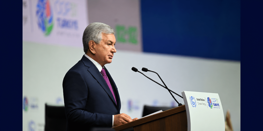
Uzbekistan has proposed establishing a joint early warning system for natural disasters in Central Asia. The plan also calls for greater climate data sharing and coordinated efforts to fund land restoration. The initiative was presented by President Shavkat Mirziyoyev on November 11 at the COP31 leaders' summit, part of the United Nations Climate Change Conference in Antalya, Türkiye. “No country can address the challenges of climate change on its own,” Mirziyoyev said. Mirziyoyev proposed beginning with the exchange of information on climate risks, supported by the World Meteorological Organization (WMO). The next step would be to establish common indicators for monitoring long-term changes, including glacier retreat. Two additional areas of cooperation would involve soil restoration technologies and new financing mechanisms for arid regions. For Central Asia, accurate forecasting has direct economic implications. Much of the region's river runoff originates in the mountains of Kyrgyzstan and Tajikistan, while most water withdrawals are used to irrigate agricultural land in Uzbekistan, Turkmenistan, and southern Kazakhstan. According to the World Bank, agriculture accounts for approximately 90% of freshwater withdrawals in the region. Information on snow cover, precipitation, and expected river flows allows authorities to adjust reservoir operations and irrigation schedules in advance. During the 2025 glaciological year, which ran from October 2024 through September 2025, most monitored glaciers in the Tian Shan and Pamir mountains experienced substantial mass loss. The WMO attributes this to insufficient winter precipitation and elevated temperatures between May and September. Glacier retreat is changing the seasonal distribution of river flows on which agriculture, hydropower generation, and water supplies depend. Shared Forecasts Instead of Fragmented Monitoring Central Asian countries already exchange some hydrometeorological information. With World Bank support, Kyrgyzstan and Tajikistan have modernized their monitoring networks and expanded data sharing with regional centers, including the existing WMO-designated regional meteorological center operated by Uzhydromet in Tashkent. According to the bank, the sharing of real-time observations has improved forecast accuracy and helped national agencies warn neighboring countries about flooding risks along transboundary rivers. The proposed mechanism would extend this practice to other climate threats. On November 10, the day before Mirziyoyev's address, WMO Secretary-General Celeste Saulo outlined possible functions for a new regional climate center serving Central Asia and the Turkic states at an event in Antalya. Such a center could produce seasonal forecasts, assess drought risks, and help national meteorological agencies monitor glaciers. Establishing the center would require agreed rules for data exchange, a division of responsibilities, and sustained funding. The WMO has emphasized that national meteorological services would retain responsibility for forecasts and warnings within their respective countries. Uzbekistan intends to address some of these issues during its 2027–2029 chairmanship of the International Fund for Saving the Aral Sea (IFAS). The fund was established by the five Central Asian countries in 1993 to promote cooperation on water management in the Aral Sea basin. On November 9, Mirziyoyev was presented with 133 projects worth a combined $3.3 billion. They include modernization of water management infrastructure, automated water monitoring and distribution, and a...