Megaprojects Instead of Quotas: How Central Asia’s Water Diplomacy Is Changing
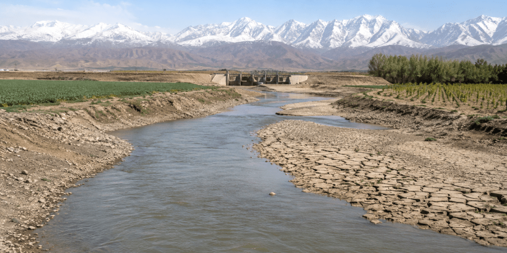
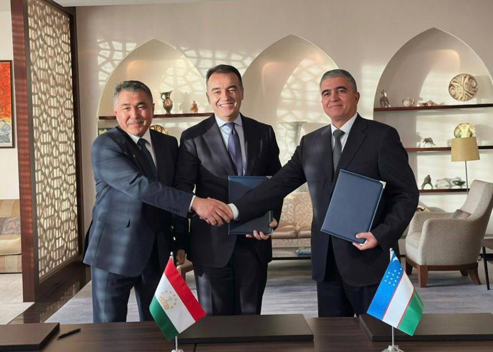
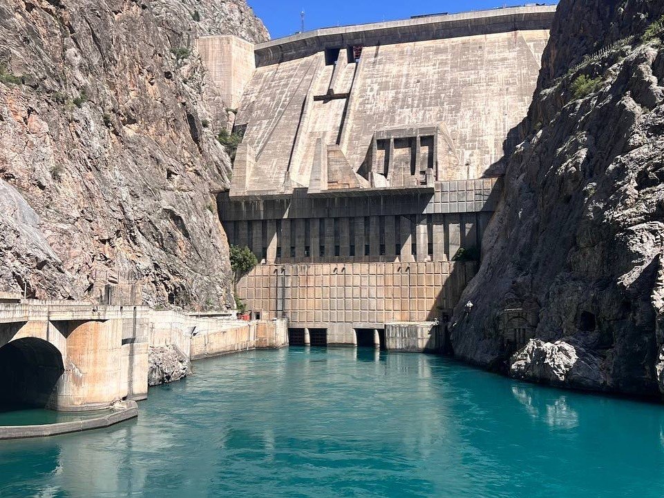
Central Asia’s water politics are moving beyond Soviet-era quotas. As glaciers in the Tien Shan retreat and climate pressure increases, river management has become a question of energy security, food production, and regional stability. The Soviet-era system of river-water allocation has reached its limits, forcing Central Asian states to look beyond traditional negotiations and toward joint ownership of strategic water infrastructure. Even as regional governments learn to cooperate more closely, a new challenge is emerging on Central Asia’s southern frontier, one that could disrupt the region’s hydrological balance. The Illusion of Control Formally, Central Asia’s water resources are governed through a network of interstate institutions. The principal mechanisms are the Interstate Commission for Water Coordination (ICWC) and the International Fund for Saving the Aral Sea (IFAS). On paper, the system appears effective. Twice a year, ahead of the spring-summer irrigation season and the autumn-winter period, representatives of the region’s countries meet to approve water-withdrawal quotas from the Syr Darya and Amu Darya river basins. At the end of 2025, for example, officials meeting in Ashgabat agreed on water allocations for 2026, setting total withdrawals from the Amu Darya at nearly 55.4 billion cubic meters. This framework has helped prevent open interstate conflicts by providing a permanent forum for dialogue. However, its foundation remains the 1992 Almaty Agreement, which essentially preserved a Soviet-era quota system designed for a single centrally planned state rather than a group of independent countries with competing interests. The greatest weakness of the system is the absence of any meaningful enforcement mechanism. If one country exceeds its agreed allocation during a drought year, there are no legal or economic penalties. Disputes are instead resolved through emergency negotiations between ministries or, in some cases, direct interventions by heads of state. A system dependent on political goodwill and personal relationships is increasingly fragile in an era of climate stress. Turning Water Disputes Into Joint Investments As the quota system shows signs of strain, Central Asian countries have begun experimenting with a more pragmatic approach: shared ownership of infrastructure. The central paradox of the Syr Darya basin is that upstream and downstream countries need water at different times of the year. Kyrgyzstan and Tajikistan, which control the river’s headwaters, require releases in the winter to generate electricity and heat their cities. Kazakhstan and Uzbekistan, meanwhile, need that same water in summer to irrigate millions of hectares of farmland. Winter releases often flow downstream when demand is low, while shortages emerge during the peak agricultural season. The proposed solution is the Kambarata-1 hydropower plant on Kyrgyzstan’s Naryn River, a project now estimated to cost around $4.2 billion. What makes the project unusual is its ownership structure. Under a 2024 agreement, Kyrgyzstan will hold a 34% stake, while Kazakhstan and Uzbekistan will each own 33%. By investing billions of dollars in infrastructure located outside their territory, Kazakhstan and Uzbekistan are effectively purchasing seats at the decision-making table. As shareholders, they gain a direct role in determining reservoir operations, helping ensure water is...