Kazakhstan and China in Talks on Feeding Lake Balkhash
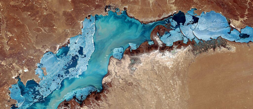
The Kazakh Ministry of Water Resources and Irrigation announced on August 19 that Kazakhstan and China are drafting an agreement on dividing trans-boundary river waters between the two countries. The main objective of the agreement is to ensure that the water in Kazakhstan’s Lake Balkhash remains at an optimal level. Located 280km northwest of the country’s largest city, Almaty, Lake Balkhash is the fifteenth largest lake in the world. It is fed by several trans-boundary rivers flowing from China, the largest of which is the Ili River, which provides about 80% of the lake's water. [caption id="attachment_21931" align="aligncenter" width="1056"] Image: Wikimapia[/caption] Environmentalists in Kazakhstan have been concerned about Lake Balkhash's shallowing. Balkhash has been gradually drying up in recent years, including due to the decline in water volumes in the Ili River. Upstream China has extensively diverted the river over the past half century to produce hydroelectric power and agricultural crops on irrigated land. According to research, as of 2021 China was blocking 40% of the river’s inflow. Moldir Abdualieva, a spokesperson of the Kazakh Ministry of Water Resources and Irrigation, said that the ministry has been paying great attention to providing Lake Balkhash with the necessary volume of water. “Since the beginning of this year, more than 12 billion cubic meters of water have been sent to the lake," she said. In May, it was reported that the water level in Balkhash had risen by 23cm since the beginning of the year due to increased rainfall and floods caused by snow melt this past spring.


