The December 2024 issue of NSS News, a U.S. magazine, featured an in-depth report on the spring expedition of French speleologists to Koytendag, Turkmenistan.
The expedition brought together 17 specialists in topography, photogrammetry, biospeleology, geology, and karstology. Their primary objectives were to document existing cave systems, create updated maps, and identify unexplored caves. Over 21 days, the team surveyed approximately 19 kilometers of caves, conducted over 8,500 topographic measurements, and refined maps created by Russian researchers.
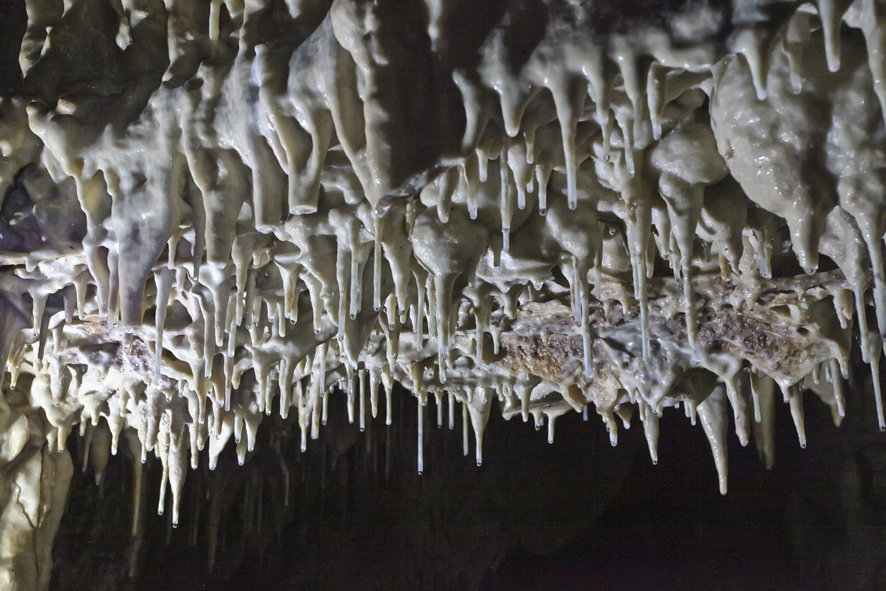
A major focus of the expedition was 3D photogrammetric modeling of the Geophysical (Gulshirin) Cave, renowned for its stunning gypsum formations. Using a Disto X laser rangefinder and the Topodroid app, the researchers enhanced mapping accuracy and created a digital replica of the cave. This cutting-edge model serves both scientific and educational purposes.
“We took more than 50,000 photos in four days, allowing us to produce a highly accurate 3D model,” one expedition participant explained. “This technology not only reveals the cave’s internal structure and unique gypsum formations but also offers an immersive viewing experience.”
The team also explored the northwestern part of the massif, identifying small gypsum systems and passages several tens of meters in length. To the east, near the snowy peak of Airybaba at an altitude of 2,400 meters, they discovered a cave marked on their maps. However, adverse weather conditions delayed a full survey of the site.
Despite challenges in accessing some areas, the expedition yielded significant results. Koytendag reaffirmed its reputation as a geologically and biospeleologically rich region.
The expedition’s findings were presented at a conference held at the French Institute in Ashgabat. Koytendag’s unique caves remain an untapped treasure, holding immense potential for advancing scientific and ecological understanding.


