• KZT/USD = 0.00218
  • TJS/USD = 0.10820
  • UZS/USD = 0.00009
  • TMT/USD = 0.29760
  • KZT/USD = 0.00218
  • TJS/USD = 0.10820
  • UZS/USD = 0.00009
  • TMT/USD = 0.29760
  • KZT/USD = 0.00218
  • TJS/USD = 0.10820
  • UZS/USD = 0.00009
  • TMT/USD = 0.29760
  • KZT/USD = 0.00218
  • TJS/USD = 0.10820
  • UZS/USD = 0.00009
  • TMT/USD = 0.29760
  • KZT/USD = 0.00218
  • TJS/USD = 0.10820
  • UZS/USD = 0.00009
  • TMT/USD = 0.29760
  • KZT/USD = 0.00218
  • TJS/USD = 0.10820
  • UZS/USD = 0.00009
  • TMT/USD = 0.29760
  • KZT/USD = 0.00218
  • TJS/USD = 0.10820
  • UZS/USD = 0.00009
  • TMT/USD = 0.29760
  • KZT/USD = 0.00218
  • TJS/USD = 0.10820
  • UZS/USD = 0.00009
  • TMT/USD = 0.29760
24 August 2026

Viewing results 1 - 6 of 94

Central Asian States Plan Automated Water Monitoring on the Syr Darya

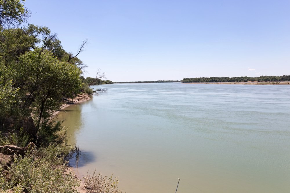
Central Asian countries have agreed to prepare a plan for automated water monitoring on the Syr Darya, one of the region’s main transboundary rivers. The system is intended to provide the countries with more accurate data on water volumes and distribution across the basin, where irrigated agriculture in several countries depends on river flows. The cost of weak coordination across Central Asia is already measured in billions: the World Bank estimates the region’s annual economic losses at more than $4.5 billion. The agreement was reached on August 7 in Turkistan, Kazakhstan. A working group to prepare the plan is expected to be established by the end of September. The decision was made at a meeting of the Interstate Commission for Water Coordination, a regional mechanism for coordinating the use of shared water resources. The Syr Darya is formed in the Ferghana Valley by the confluence of the Naryn and Kara Darya rivers, flows through Uzbekistan, Tajikistan, and Kazakhstan, and ends in the North Aral Sea. The Naryn originates in Kyrgyzstan, meaning that management of the basin involves four countries. The Syr Darya supplies major agricultural areas, while a cascade of reservoirs and hydropower plants links the distribution of river flows with electricity generation. The countries’ interests have not always coincided. In the upper reaches of the basin, water is used for hydropower generation, while farther downstream demand peaks during the summer irrigation season. Accurate monitoring and timely data exchange help countries plan water withdrawals and reservoir operations during months with the highest demand. Kazakhstan and Uzbekistan are already developing part of the future system. The two countries are automating ten hydrological monitoring stations on the Syr Darya, five on each side of the border. Sensors are expected to record water flow and transmit the data online. At the meeting in Turkistan, the two sides agreed to accelerate efforts to secure grant financing and consider expanding the system to other parts of the basin. Kazakhstan already has experience with automated monitoring. On parts of its irrigation network, sensors remotely transmit data on water levels and pressure. Over the past decade, more than 800 kilometers of lined canals have also been rehabilitated in four regions, while irrigation system upgrades have covered more than 100,000 hectares of farmland. Uzbekistan is also seeking to reduce irrigation losses. Agriculture accounts for about 90% of the country’s water consumption. One project provides for the reconstruction of 259 kilometers of major canals and the installation of automated water-flow monitoring systems. The World Bank estimates the expected water savings at around 540 million cubic meters a year. The current season on the Kazakh section of the Syr Darya has so far been favorable. Since April 1, around three billion cubic meters of water have flowed into the Shardara Reservoir in southern Kazakhstan. This volume is higher than both last year’s figure and the long-term average. The region received additional funding for water projects in July. The World Bank allocated a $20 million grant to improve the management of...

World Bank Approves $20 Million Project to Boost Cross-Border Water Cooperation in Central Asia

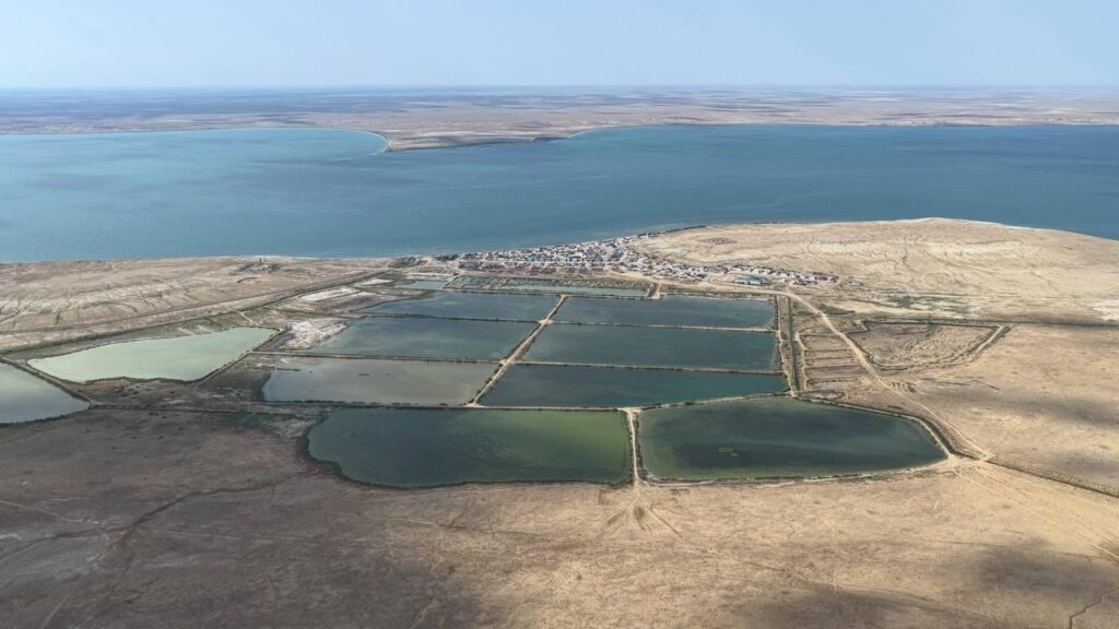
The World Bank has announced a $20 million grant to strengthen transboundary water cooperation in Central Asia. The project is intended to improve management of the Amu Darya and Syr Darya basins as climate change, ageing infrastructure, and rising demand increase pressure on shared water resources. The funding, approved by the World Bank’s Board of Executive Directors, will support the Central Asia Water Efficiency Cooperation Project (CAWEC). It will be implemented by the Executive Committee of the International Fund for Saving the Aral Sea (EC IFAS). EC IFAS’s current procurement notice identifies Kazakhstan, Tajikistan, Turkmenistan, and Uzbekistan as the participating states. According to the World Bank, limited cooperation over shared water and energy resources costs the region more than $4.5 billion a year. The bank says fragmented reservoir operations, weak data sharing, and ageing infrastructure prevent countries from capturing gains that better regional coordination could provide. The project will strengthen regional institutions, modernize water accounting and information systems, and improve data sharing. By 2031, EC IFAS is expected to prepare feasibility studies, technical documents, and environmental assessments for up to six transboundary water infrastructure projects involving at least two countries. The $20 million grant will not finance the construction of those projects. The preparatory work is intended to help governments attract further investment for irrigation modernization, water conservation and storage, and coordinated management of shared rivers. It will also support digital systems and equipment for the Amu Darya and Syr Darya basins. Up to 100 staff members from regional water organizations will receive training. The World Bank estimates that around 40 million people will benefit directly or indirectly from improved regional water management. The International Fund for Saving the Aral Sea was established in 1993 by Kazakhstan, Kyrgyzstan, Tajikistan, Turkmenistan, and Uzbekistan to coordinate responses to the environmental and economic consequences of the Aral Sea disaster. The project concerns the Aral Sea basin’s two principal river systems. The Amu Darya is formed by headwaters rising mainly in the Pamirs and Hindu Kush and flows through or along Afghanistan, Tajikistan, Uzbekistan, and Turkmenistan. The Syr Darya is fed by Tien Shan headwaters and crosses Kyrgyzstan, Uzbekistan, Tajikistan, and Kazakhstan. Both rivers historically fed the Aral Sea. The grant arrives amid severe regional water stress. Central Asian governments agreed 2026 allocations from the Amu Darya and Syr Darya in November 2025, but low reservoir levels and reduced inflows continue to threaten irrigation and energy production. Kazakhstan is pursuing a parallel effort to restore the North Aral Sea, the section of the former inland sea fed by the Syr Darya. In a ministry statement, Water Resources and Irrigation Minister Nurzhan Nurzhigitov said an additional 1.2 billion cubic meters of water should be directed to the North Aral by the end of 2026. According to the ministry, 1.4 billion cubic meters have been delivered since October 1, 2025. The North Aral now contains 23.5 billion cubic meters of water, while salinity has fallen by about 10% from a year earlier. Fishermen caught 4,200 metric...

Central Asia Remains Highly Vulnerable to Major Earthquakes

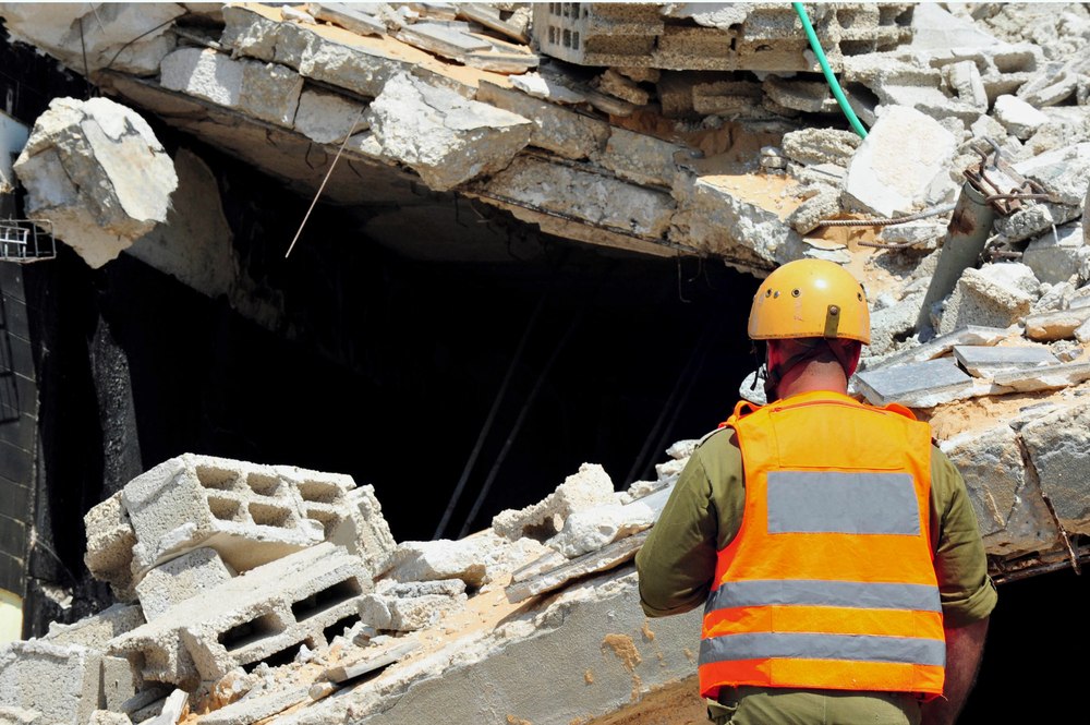
Earthquakes accounted for more than half of all deaths linked to natural hazards worldwide between 2000 and 2023, according to the World Health Organization (WHO). The agency warns that millions of people across its European Region still live or receive medical treatment in buildings that may not withstand a major seismic event. WHO has focused on hospitals because they must continue treating patients when injuries rise and local infrastructure is damaged. The agency estimates that earthquake-resistant standards add less than 4% to the cost of a new hospital, while retrofitting an existing facility typically costs about 1% of its value. Although WHO highlighted the danger facing Istanbul, the warning also applies to Central Asia. Nearly all of Kyrgyzstan and Tajikistan lie in areas of high seismic hazard, along with parts of Kazakhstan, Turkmenistan, and Uzbekistan. Recent tremors in Almaty have brought the issue back into public view. As previously reported by The Times of Central Asia, a magnitude-5.0 earthquake struck 74 kilometers northeast of the city on February 17, 2026. Residents left homes and offices, although no major damage was reported. Almaty introduced its Mass Alert system in May 2024 after an earlier earthquake caused panic across the city. Forty-four people sought medical treatment, most after being injured while leaving buildings. The system is connected to 28 seismic stations and sends warnings to mobile phones through cell towers. Up to 200 minor tremors are recorded each year within an 80-kilometer radius of Almaty. Approximately 30 tectonic faults run through the city and surrounding area. Experts estimate that an earthquake measuring 9-10 points in intensity could destroy as many as 30% of local buildings, given the density of high-rise construction in vulnerable foothill districts. A major earthquake could also interrupt hospital care without causing a building to collapse. Loss of electricity or water could halt surgery and emergency treatment, while blocked roads could prevent staff from reaching medical facilities. Kazakhstan resumed mandatory earthquake drills in Almaty after the strong tremors of 2024. Medical personnel have trained with rescue workers at emergency assembly points, and the military has practiced deploying mobile hospitals. The preparations reflect concern about the condition of older buildings and the rapid expansion of high-rise development. The densely populated Fergana Valley also poses a cross-border challenge because a single earthquake could affect communities in Kyrgyzstan, Tajikistan, and Uzbekistan. Damage to roads or delays at border crossings could slow medical assistance when hospitals are under pressure. WHO recommends regular emergency exercises and medical teams that can continue operating when communications fail. Hospitals also need access to essential supplies if damaged transport routes delay deliveries. Central Asia's seismic history shows the possible scale of destruction. The 1911 Kemin earthquake, estimated at magnitude 8.2, destroyed hundreds of buildings in Verny, now Almaty. A magnitude-7.3 earthquake devastated Ashgabat in 1948, and the 1966 Tashkent earthquake left more than 300,000 people homeless. Those disasters occurred before much of the region's current urban growth. Dense construction has increased the number of people exposed to seismic...

Kyrgyzstan’s Water Compensation Push Tests Central Asian Unity

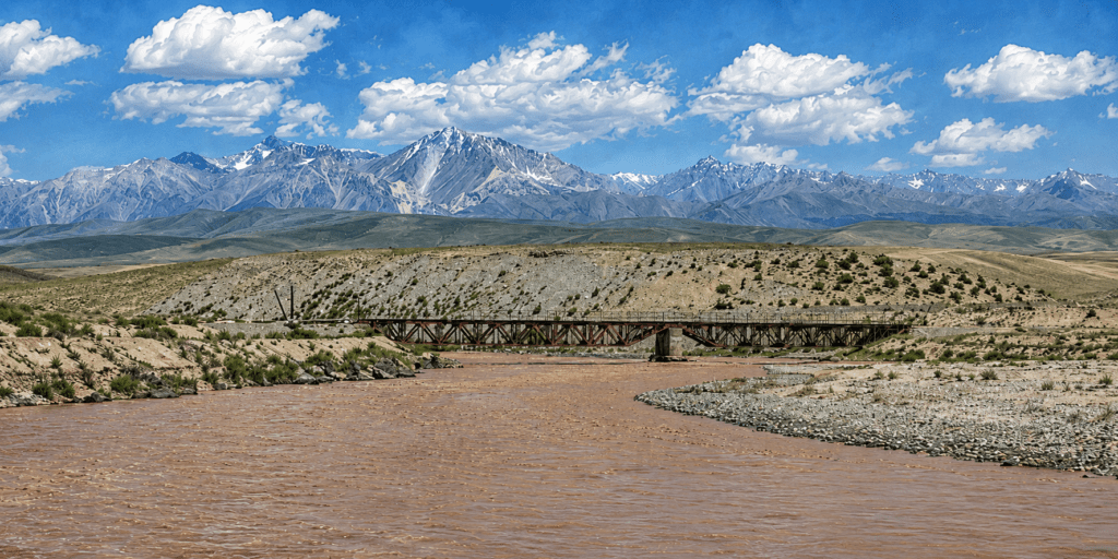
Central Asia’s water diplomacy is entering a contentious phase. Kyrgyzstan, where much of the region’s runoff is formed, is reviving calls for economic compensation from downstream users. Kazakhstan and Uzbekistan have rejected the idea, saying current agreements do not provide for payments for transboundary river water. The dispute comes as the region tries to maintain annual water-allocation deals while adapting agriculture to worsening scarcity and climate pressure. Water has long tied together the region’s upstream and downstream states. The 2021 and 2022 clashes on the Kyrgyz-Tajik border showed how disputes over land, border infrastructure, roads, security posts, and water access can escalate when local tensions are not contained. Yet political will alone does not guarantee agreements between countries. The Central Asian republics cooperate on water issues through two interstate bodies. One is the International Fund for Saving the Aral Sea, established in 1993 by all five Central Asian republics. Kyrgyzstan suspended its participation in IFAS in 2016, and now attends the fund’s meetings as an observer. The second body is the Interstate Commission for Water Coordination, whose meetings are held once a quarter. At its 93rd meeting in Bukhara in early April, the commission confirmed limits for water withdrawal from transboundary rivers, following decisions approved at the 92nd meeting in Dushanbe. For the Amu Darya, the 2026 water allocations set the total withdrawal limit for the water-management year from October 2025 to October 2026 at about 55.4 billion cubic meters. Of this, 15.9 billion cubic meters is allocated for the cold period, from October to April. Tajikistan has been allocated 9.8 billion cubic meters per year, while Turkmenistan and Uzbekistan each receive 22 billion. A significant part of the flow, 44 billion cubic meters, must pass through the adjusted section of the Kerki hydrological post, helping secure the lower reaches of the river. For the Syr Darya, the total water withdrawal limit for the non-growing season is 4.219 billion cubic meters. Kazakhstan will receive 460 million cubic meters through the Dustlik Canal, Kyrgyzstan 47 million, and Tajikistan 365 million, while the largest share will go to Uzbekistan, 3.347 billion cubic meters. The inherited framework is also facing pressure from outside the five-state system. Afghanistan’s Qosh-Tepa Canal, which is being advanced outside the Soviet-era allocation structure, has added uncertainty on the Amu Darya. The Central Asian republics also cooperate in bilateral and trilateral formats. In January, Kazakhstan-Uzbekistan joint working groups met in Turkestan. The sides reaffirmed water cooperation, agreed to continue repairs on the Dostyk canal, and planned automated hydrological posts on the Syr Darya. In May, Kazakhstan, Uzbekistan, and Tajikistan agreed on the operating regime of the Bahri-Tojik Reservoir for the summer of 2026. From June to August, the reservoir is to operate in a coordinated mode to supply irrigation water to farmers in the Maktaaral and Zhetysai districts of southern Kazakhstan. These agreements show that regional mechanisms still work, but experts continue to warn that climate pressure, data gaps, and uneven national interests could overwhelm existing formats. “Forecasting the...

New Study Finds Sharp Decline in Amu Darya Flows

Central Asia’s water woes continue to grow worse. The water flow in the Amu Darya, one of Central Asia’s two great rivers, is slowly but significantly diminishing in Tajikistan, where the river originates. A recently released report shows the Amu Darya’s water flow in the middle and lower reaches in Tajikistan has fallen over the course of recent decades by 54-77%. And the report lays the blame firmly on human activity, not climate change. Up In the Mountains of Tajikistan The study published on ScienceDirect looked at data collected over 90 years and concludes that “streamflow decreased by 54–77% in the middle and lower reaches” of the Amu Darya in Tajikistan. Interestingly, the report mentions that precipitation in the mountains of Tajikistan has actually increased between 6 and 13%, but the Amu Darya’s water level is falling because people are using more water. The expansion of agriculture is the reason, accounting for 92% of the water reduction in Tajikistan, but the recent construction of water reservoirs is also playing a role. Lower flows of water were noted on many of the tributaries in Tajikistan that feed into the Amu Darya, including the “Vakhsh, Kunduz, Kofirnihon, Surkhandarya, Zeravshan, and Kashkadarya (rivers),” which showed streamflow reductions of 4–34%. The report said that areas in the upper reaches of the Amu Darya should see increased water levels, but this is mainly due to climate change hastening the melting of snow and glaciers. Once the glaciers are gone, the water will rapidly decrease. Bad News Downstream Water problems upstream in Tajikistan translate to bigger problems downstream in Uzbekistan and Turkmenistan. Both have already noticed a reduction in the amount of water in the Amu Darya, most visibly that the river has not reached the Aral Sea for about two decades now, contributing to the sea shrinking by some 90% since the 1960s. Every year the river recedes further south, forcing downstream communities suddenly without water to relocate. Climate change is now hastening this process in the arid, desert lands along the Uzbek-Turkmen border, but both countries are preparing for a bigger, impending shock. The Taliban started construction of the Qosh Tepa Canal in 2022, with the project scheduled to be completed in 2028. While Central Asia was liberally taking water from the Amu Darya for agricultural use, Afghanistan was in no position to claim its share until now. The canal will draw water from the Amu Darya at an area across from Uzbekistan and open up new agricultural land in northern Afghanistan, where food has long been in short supply. The 280-kilometer canal is expected to take some 16-20% of the water left in the Amu Darya after it leaves Tajikistan. Upstream Tajikistan’s falling water levels, of course, mean the Qosh Tepa Canal will also be receiving less and less water. The Combination For most of the 2020s, large areas of Central Asia have been experiencing droughts, prompting the governments there to implement water conservation measures. But as they find more ways to save...

Tajikistan Warns of Mudslides as Central Asia Expands Flood Cooperation

Authorities in Tajikistan say heavy rain could trigger mudslides in parts of the country in the coming days and have warned people to be extremely careful when traveling on roads near mountains and riverbanks. The warning was issued on Wednesday, days after government officials, scientists, and other delegates from across Central Asia met in Bishkek to discuss ways to address cross-border mudflows and floods. The three-day meeting, which ended on Friday, was organized by Kyrgyzstan’s Ministry of Emergency Situations and the Regional Environmental Center for Central Asia, a group that gets support from the World Bank and other international partners. Mudslides and flooding often hit parts of Central Asia in the spring and early summer, when rainfall, rising temperatures, snow and glacier melt, and increasing water levels threaten communities that scientists say are more vulnerable because of climate change. In the spring of 2024, flooding in Kazakhstan displaced thousands of people and damaged many homes and other buildings in what the government called the worst natural disaster in the country in 80 years. Central Asian governments are increasing cooperation on mitigation measures, including early warning systems, data sharing, and other projects to better protect their populations. As temperatures rise faster in Central Asia than the global average, Tajikistan is especially vulnerable because it is a mountainous country where glacier melt is a growing concern. Heavy rains and mudslides are possible through Friday, July 3, in mountainous and hilly areas across the country, as well as in Sughd Region in northwest Tajikistan, which borders Uzbekistan, and in Khatlon Region in the southwest, which borders Uzbekistan and Afghanistan, Tajikistan’s Ministry of Transport said. Citing meteorological experts, the ministry also warned of dust storms in Khatlon and the capital, Dushanbe, because of strong winds blowing from the south. “As a result of rising temperatures, glacier melt, and increasing water levels in the Panj, Vakhsh, Varzob, and Zeravshan rivers, there is a risk of mudflows in these areas,” the ministry said. It added that it had “instructed all road maintenance departments and institutions to monitor the condition of highways around the clock.” The possibility of flooding from glacier melt and rising river levels is not only a problem in mountainous areas in upstream countries such as Tajikistan and Kyrgyzstan, but also in downstream countries, including Kazakhstan, Uzbekistan and Turkmenistan, that rely on cross-border water supplies but are also vulnerable to natural disasters. Turkmenportal, an online news site, said the recent meeting in Kyrgyzstan on water cooperation in Central Asia was important to Turkmenistan because it “is located in the lower reaches of Central Asia's largest rivers and is directly dependent on the quality of transboundary cooperation in water management and flood risk reduction.”