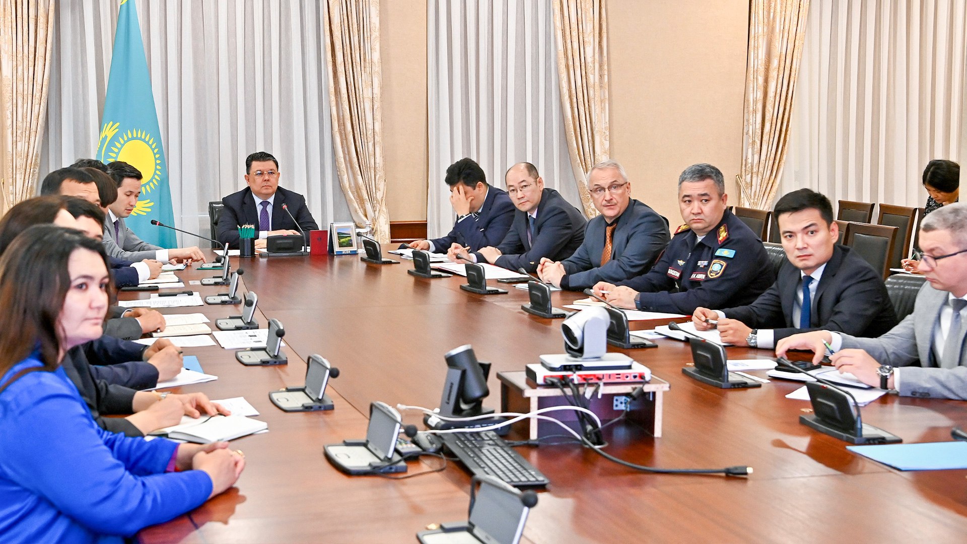
An information system for forecasting and modeling floods in Kazakhstan was discussed with representatives at a Cabinet of Ministers meeting, as reported on the official website of the Government of Kazakhstan. The information system includes four modules: data collection, analysis, forecasting, and modeling. It will use both operational and long-term data from Kazakhstan Ғarysh Sapary, Kazgidromet, and the National Center of Geodesy and Spatial Information.
The system will be integrated with the Ministry of Emergency Situations’ database on floods, mud-flows, landslides, avalanche-prone areas, and hydraulic structures. The Ministry of Digital Development, Innovation, and Aerospace Industry suggested utilizing the European program for remote Earth sensing in its operations. Deputy Prime Minister, Kanata Bozumbayev directed the ministry to also consider domestic digital solutions.
Additionally, to develop a comprehensive data set, it is necessary to increase the number of hydrological and meteorological stations, perform bathymetric surveys of water bodies and rivers, and create a “digital relief” map of areas in the country that frequently experience flooding.
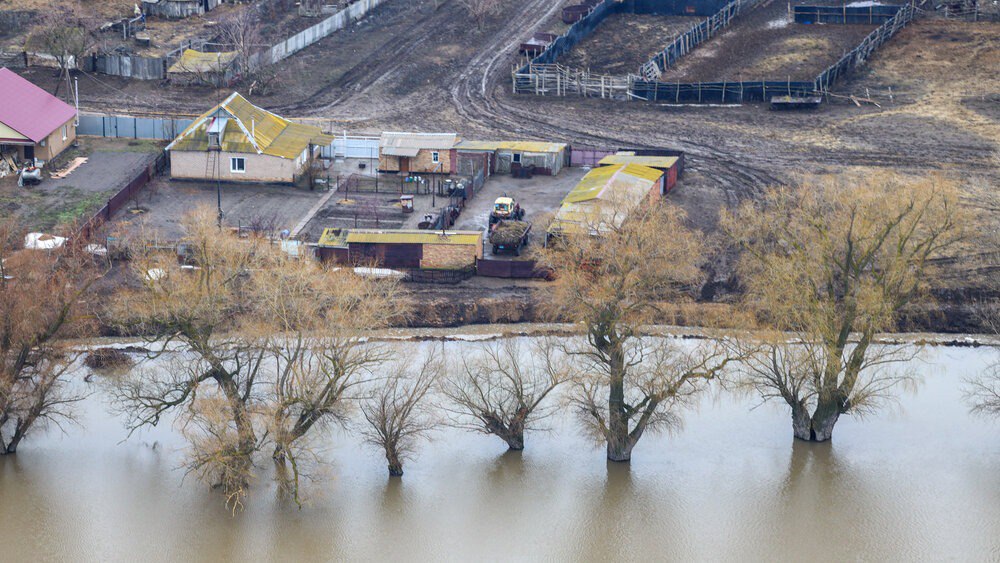
In the spring of 2024, Kazakhstan experienced its largest flooding in 80 years. Ten regions of the country declared a state of emergency, and thousands of houses and buildings were flooded. Thousands of people were evacuated from flooded areas and are still in the process of recovering from the damage.


