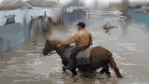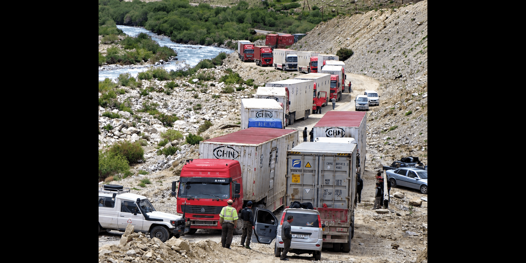
On the evening of May 1, a mudflow swept into residential neighborhoods in Kulob, southern Tajikistan. When water flooded a neighboring house, Mirzo Muloniezov rushed inside and managed to carry out his two-year-old grandson. The water had already reached the electrical outlets. Muloniezov was electrocuted. Neighbors pulled him from the water, but he could not be saved.
In the first six months of 2026, Tajik authorities recorded 741 natural emergencies. Avalanches accounted for 508 of them, while another 123 were mudflows. Twelve people were killed, and economic damage exceeded TJS 52.8 million – about $5.7 million.
Dushanbe is now discussing with the United Kingdom technologies that could give people more time before disaster strikes.
On September 14, Rajabali Rahmonali, chairman of Tajikistan’s Committee for Emergency Situations and Civil Defense, met British Ambassador Katherine Smitton. Along with training rescuers and holding joint exercises, the talks covered geographic information systems (GIS), risk mapping, drones, remote monitoring, and early warning systems.
These are no longer technologies for some distant future. Drones and GIS are already being used to monitor glaciers and areas exposed to mudflows.
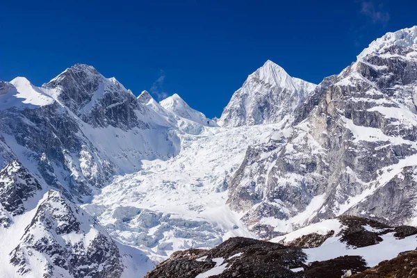
In late August, scientists from the Research Center for Ecology and Environment of Central Asia surveyed the Megdor and Khirson glaciers in the Vanjob River basin. They combined aerial surveys using drones with satellite imagery, GIS data, and hydrometeorological observations. The data allow specialists to track glacier movement and areas where new hazards could emerge. During the expedition, they also surveyed the area around the village of Votkhud after a July 19 mudflow damaged water supply and irrigation infrastructure.
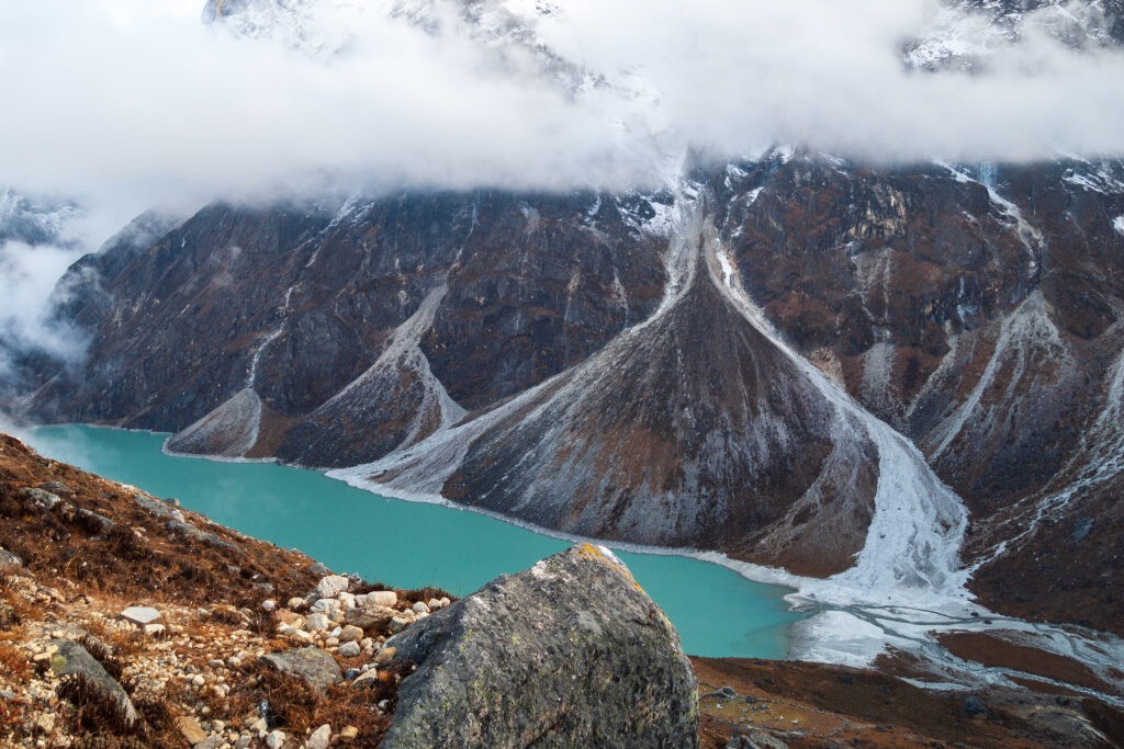
Particular attention is being paid to the Khirson Glacier. Its sudden surges have previously blocked river channels and created glacial lakes. Such lakes can become dangerous if a natural ice or debris dam fails, sending large volumes of water crashing into the valley below.
Some early warning infrastructure is already operating in the country. In June, Tajikistan’s Agency for Hydrometeorology reported the deployment of systems used for flood forecasting and early warning. Tajikistan is also rehabilitating hydrological stations and expanding its observation network.
British assistance is therefore being discussed for a system that already has some of its components in place. What remains unclear is whether the cooperation will provide additional monitoring stations, drones, software, specialist training, or a combination of these – and where any new equipment or systems would operate.
Kulob shows what the existing system still lacks.
Heavy rains in early May triggered floods and landslides in several parts of the country. Three people died – two were trapped beneath collapsed walls, and Muloniezov was electrocuted.
His son Muloniezov Yakubchon told Asia-Plus that the mudflow arrived at around 8 p.m. Water first entered a neighboring house where children were inside, and then destroyed his family’s fence. After his father’s death, the family temporarily moved in with relatives.
By May 20, 520 affected families in Kulob had received government assistance, while another 330 were still waiting. Umeda Alimova, a resident of the Qurbon Zardak neighborhood, received flour, vegetables, rice, oil, an oven, mattresses, blankets, and clothing. For many residents, a few hours of extreme weather turned into weeks of repairs and rebuilding.
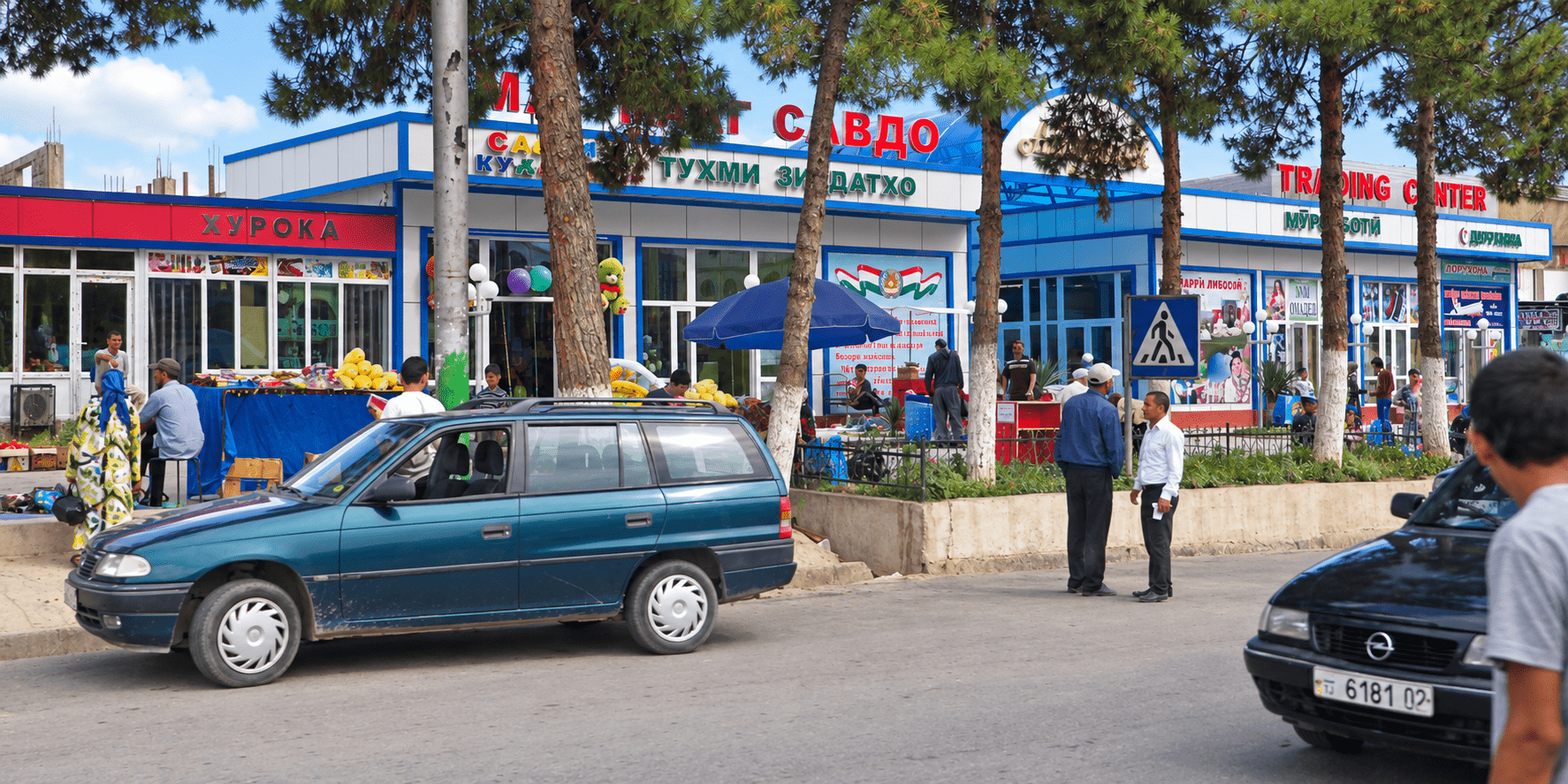
A street scene in Kulob, southern Tajikistan. Image: TCA, Stephen M. Bland
By summer, the next test had moved to the Pamirs.
On July 18, hydrometeorologists warned that extreme heat was increasing the risk of glacial mudflows in mountainous areas. Two days later, a mudslide struck Barrushon and Dekhrushon in the Rushan District of the Gorno-Badakhshan Autonomous Region. Forty homes were damaged, ten of them completely destroyed. Residents were relocated to safer areas. Local authorities linked the disaster to a sharp rise in temperatures and intensive melting of snow and high-altitude glaciers.
In late July, specialists took to the air to survey snowfields, glaciers, and high-altitude lakes. In some parts of the Karatag and Zeravshan river basins, about 95% of the seasonal snow cover had melted.
Rushan also shows the limits of a conventional weather warning. Two days before the mudflow, specialists already knew that the heat was increasing the danger in the mountains. The next task is to determine exactly where a threat is forming, how the water will move, and which settlements lie in its path.
Tajikistan has a national roadmap for strengthening early warning systems for 2024–2027. It specifically covers detection, observation, monitoring, analysis, and forecasting of natural hazards.
The World Bank warns that climate change is increasing Tajikistan’s exposure to a range of extreme weather phenomena. Without sufficient adaptation, climate-related damage to infrastructure and agriculture could reduce the country’s real GDP by 5–6% by 2050.
That is why the significance of the talks with London lies less in the future document itself than in what it could add to Tajikistan’s existing observation network. In the mountains, data from a drone or satellite matter only if the information reaches the people who need to close a road or evacuate homes in time.